Decode Airspace
Read sectional charts, spot controlled airspace, and understand when authorization enters the plan.
Your guide + the full free resource library link is headed to your inbox right now.
Don't see it? Check your spam folder and drag it to your inbox.
WAIT — READ THIS FIRST
If you want to earn your Part 107 License, this is the course for you. For only $50 (best price out there) you will pass or refund guaranteed.
“Dorian is great! I got my Part 107 license first try in 3 weeks. He really broke down the information and systematically made it as efficient as possible. Thanks again!”
THE NEXT STEP
It's the guided system I built for the exact gap you're standing in right now. Where scattered study turns into real flight decisions. Where regular pilots—not aviation veterans—go from “I should study this” to holding a certificate.
Most students pass on their first attempt.
Open the complete course Here's exactly what's inside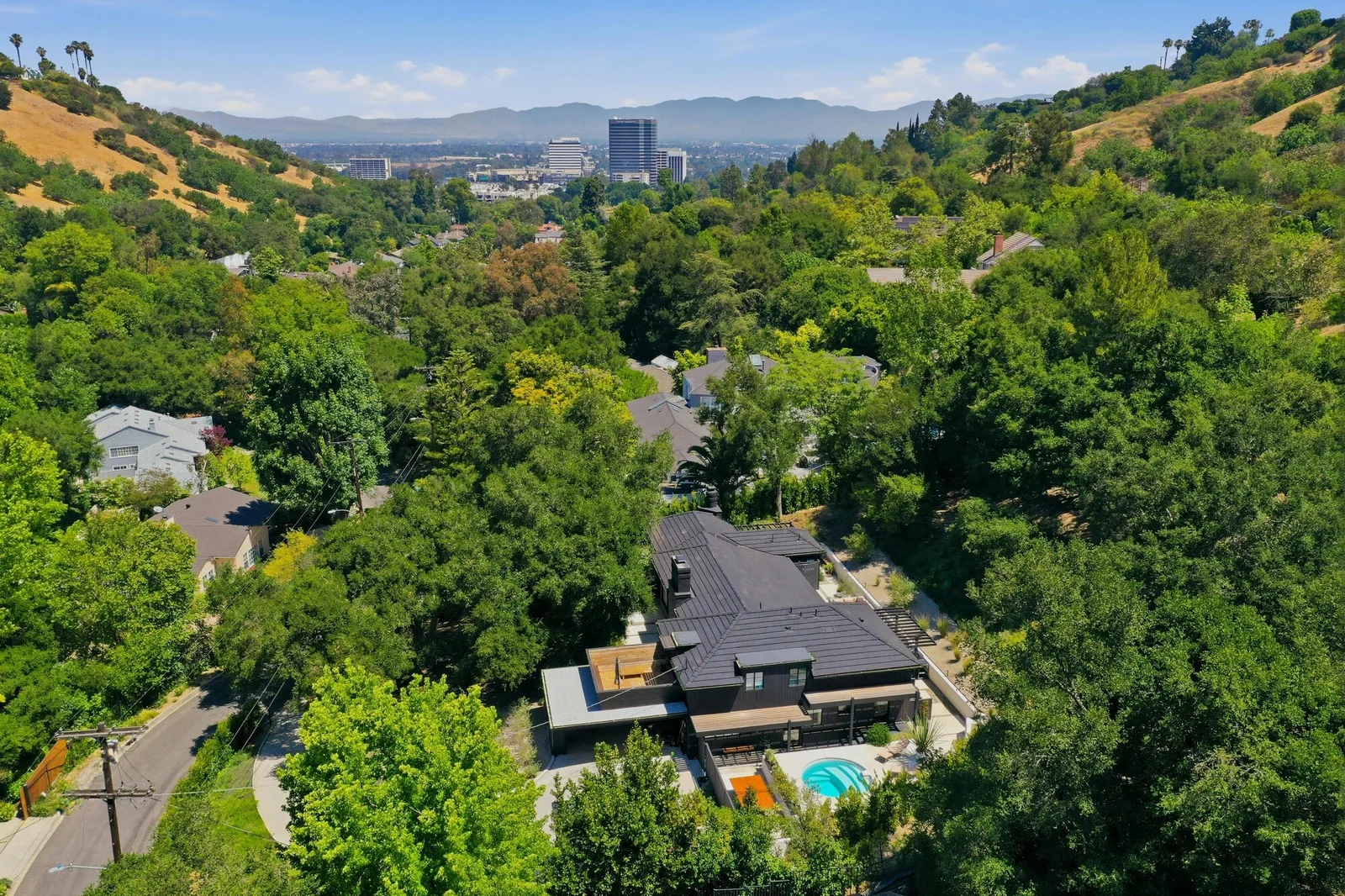
WHAT YOU'LL BUILD
Read sectional charts, spot controlled airspace, and understand when authorization enters the plan.
Turn METARs, TAFs, fronts, wind, visibility, and density altitude into actual go/no-go decisions.
Connect Part 107 operating rules to the situations a remote pilot faces before and during a flight.
Build a repeatable briefing process around location, people, aircraft, weather, and emergency planning.
Practice choosing the right response when the original mission plan changes.
Use missed questions to expose weak topics instead of memorizing an answer key.
WHAT'S INSIDE
11 units. One clear path from zero to your FAA Part 107 certificate.
COMING NEXT
Guided mission briefings that connect test concepts to real locations, weather, and operating decisions.
Practical templates for planning, documenting, and communicating professional drone work.
WHO'S BEHIND THIS
I'm Dorian Saelens, an FAA Part 107-certified drone operator working with commercial drone imagery and property media in Los Angeles, where the rules, airspace, weather, and mission plan have to come together before takeoff.
I built this course to turn the material into a clear sequence, using the practical context I wanted when I was preparing for the test.

COURSE ACCESS
COMPLETE SELF-PACED COURSE
PART 107
Free access to the full learning path and practice exam.
No invented pass guarantees. No surprise checkout.
Move from a scattered study pile to a guided Part 107 path built around real pilot decisions.
Start Unit 1Either way—follow @doriandrone for drone breakdowns and field lessons.